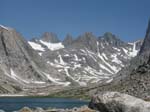
Gannett Peak
Coordinates: 43°11′04"N 109°39′12"W
Location: Wyoming, USA
Range: Wind River Range
Nearest City: Cora
Brief Historical Background:
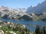
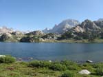
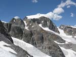
Gannett Peak is located in the northern Wind River Mountain Range on the border between two large wilderness areas, the Bridger and the Fitzpatrick. It is the highest peak in the state of Wyoming and in the entire Greater Yellowstone Ecosystem. Geographically the peak is the apex of Central Rockies. The mountain is the most remote of all the state high points in the lower 48 states. It has five largest glaciers in the American Rocky Mountains. The peak was named in 1906 after American geographer, Henry Gannett, who is considered the "Father of Government Mapmaking".
Technical difficulty:
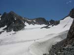
Gannett Peak is usually climbed on a four to six day round-trip, and is considered amongst mountaineers as second in difficulty of state high points. The approach involves a long trail and cross-country hiking and glacier travel, which can take two to four days. The mountain is located in the remote area and therefore is considered an exciting mountaineering challenge because of its inaccessibility and difficulty. The peak itself can be climbed by several routes with varying degrees of difficulty, but none are easy. Climbers need to be experienced, physically fit and well acclimated to high elevations.


